PS robots, a fascinating blend of technology and practicality, are transforming various industries with their remarkable capabilities. From autonomous vehicles to precision agriculture, these machines are making a significant impact.
But what exactly powers these marvels of modern technology? How do they navigate their environment, and what makes them so efficient? Let’s explore the intriguing world of GPS robots and unravel the mystery behind their operation.
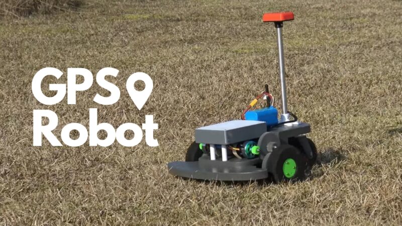
What Is a GPS Robot?
A GPS robot is a type of autonomous robot that harnesses GPS data to navigate its environment. These robots are equipped with a GPS receiver that collects data from satellites orbiting the Earth.
This data, which includes the robot’s precise location and time, is then used to guide the robot’s movements, allowing it to follow specific routes or perform complex tasks. These robots are incredibly versatile and can be programmed to perform a wide range of tasks.
Their ability to navigate independently, coupled with their precision and efficiency, makes them ideal for a multitude of applications. From autonomous farming equipment that can plant and harvest crops with pinpoint accuracy, to self-driving cars that can navigate complex road networks, the potential uses for these robots are virtually limitless.
Its Applications
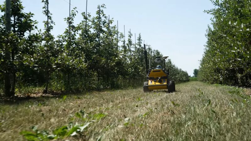
GPS robots are used in a variety of industries, each with its unique set of challenges and requirements. In agriculture, for instance, they can automate tasks such as planting, harvesting, and spraying pesticides.
This not only increases efficiency by reducing the time and effort required for these tasks but also minimizes the need for manual labor, thereby reducing costs. In the transportation industry, they are integral to the development of autonomous vehicles.
These vehicles use GPS data to navigate roads and traffic, greatly improving safety and efficiency. They can adjust their speed and direction based on real-time traffic data, avoid obstacles, and even find the most efficient route to their destination.
Other applications include search and rescue operations, surveillance, and even space exploration, where they can navigate harsh and unpredictable terrains with ease.
The Role of GPS in Robot Navigation
GPS plays a pivotal role in the operation of autonomous robots. It provides the data necessary for these machines to know where they are and where they’re going, enabling them to navigate their environment with remarkable precision.
How Does It Work?
The Global Positioning System (GPS) is a network of satellites that orbit the Earth, transmitting signals that can be picked up by a GPS receiver. The receiver uses the time it takes for these signals to arrive to calculate its distance from each satellite.
By triangulating this data from multiple satellites, the receiver can determine its exact location on Earth. This system is incredibly accurate and capable of pinpointing a location within a few meters. This level of accuracy is crucial for autonomous robots, as it allows them to navigate their environment with precision.
Whether they’re navigating a complex road network or a vast agricultural field, the system provides the data they need to operate efficiently and effectively.
Autonomous Navigation
Autonomous robots use GPS data in conjunction with other sensors and algorithms to navigate their environment. The GPS data provides a global reference point, allowing the robot to know its location in relation to its destination. This is crucial for tasks such as route planning and obstacle avoidance.
However, the data alone is not enough for autonomous navigation. Robots also need to be able to detect and avoid obstacles, which requires additional sensors and complex algorithms.
These sensors can include cameras, lidar, radar, and ultrasonic sensors, each of which provides a different type of data. By combining this data with GPS data, the robot can create a detailed map of its environment and navigate it safely and efficiently.
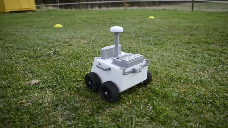
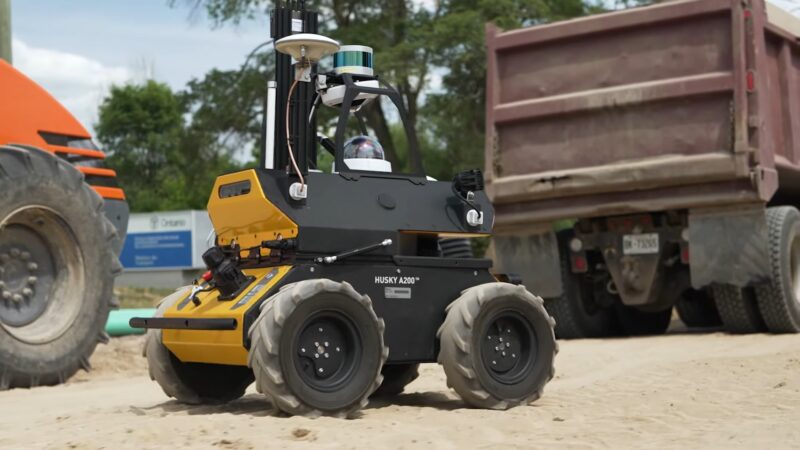
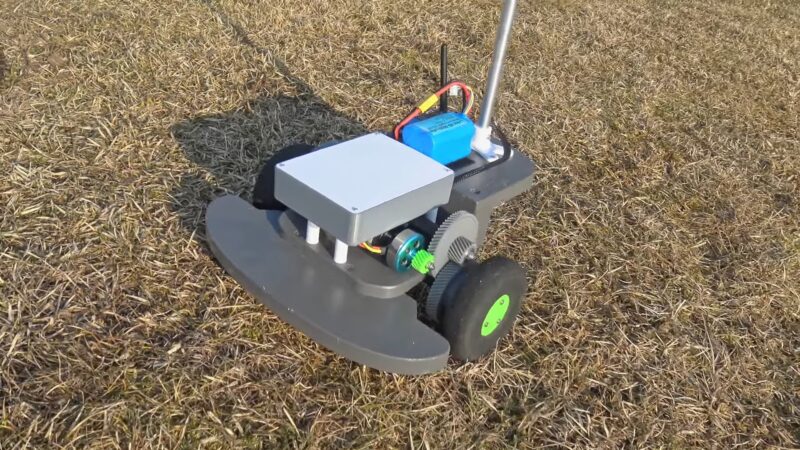
The Structure of a GPS Robot
A GPS robot is more than just a machine with a GPS receiver. It’s a complex system of hardware and software components, each designed to perform a specific function, and all working together seamlessly to enable the robot to navigate its environment.
Hardware Components
The hardware typically includes a GPS receiver, various sensors, and actuators. The GPS receiver is responsible for collecting data from satellites. This data, which includes the robot’s precise location and the time, is then processed by the robot’s onboard computer to determine its location and guide its movements.
Sensors are used to detect obstacles and other environmental factors. Each sensor provides a different type of data, which is used to create a detailed map of the robot’s environment.
Actuators, on the other hand, are responsible for the robot’s movements. They can control everything from the robot’s wheels to its robotic arms, allowing it to move in the desired direction and perform specific tasks.
Software Components
The software of a GPS robot is just as important as its hardware. It’s responsible for processing the data collected by the receiver and sensors, and using this information to guide the robot’s movements. This involves a variety of complex tasks, from interpreting the GPS data to planning the robot’s route and controlling its movements.
This software typically includes a variety of algorithms for tasks such as path planning, obstacle avoidance, and localization. These algorithms use the data from the receiver and sensors to make decisions about the robot’s movements.
The software also includes a control system that manages the robot’s actuators, ensuring that the robot moves in the desired direction and performs the desired tasks.
Challenges and Limitations
While these machines are incredibly powerful and versatile, they are not without their challenges and limitations. Understanding these can help us appreciate the complexity of these machines and the ingenuity required to overcome these hurdles.
Signal Limitations
One of the main challenges with using GPS for robot navigation is that the signal can be unreliable. Buildings, trees, and other obstacles can block or interfere with the signal, causing errors in the location data.
This can be particularly problematic in urban environments, where tall buildings can create a phenomenon known as “urban canyons,” which can significantly disrupt the signal. Furthermore, these signals are weak and can be easily disrupted by atmospheric conditions or electronic interference.
This might represent a significant problem for robots operating in urban environments or other areas with a lot of electronic noise. To overcome these challenges, GPS robots often use additional sensors and algorithms to supplement the data and ensure accurate navigation.
Autonomous Navigation Challenges
Autonomous navigation is a complex task that requires a high level of computational power and sophisticated algorithms. Robots need to be able to detect and avoid obstacles, plan efficient routes, and adapt to changes in their environment.
These tasks require the robot to process large amounts of data in real-time, which can be computationally intensive. These challenges are compounded by the fact that the environment is constantly changing.
Traffic, weather conditions, and other factors can all affect the robot’s ability to navigate safely and efficiently. To overcome these challenges, GPS robots use a combination of advanced sensors, powerful processors, and sophisticated algorithms.
The Evolution of GPS Robots
| Year | Development |
|---|---|
| 1970s | The concept of GPS was developed by the U.S. Department of Defense. |
| 1980s | The first GPS satellite was launched. |
| 1990s | GPS became fully operational. Commercial GPS receivers started to become available. |
| The early 2000s | The first GPS robots were developed, primarily for military and industrial applications. |
| Mid-2000s | GPS robots started being used in agriculture for tasks such as crop spraying and harvesting. |
| Late 2000s | The development of autonomous vehicles using GPS for navigation began. |
| The early 2010s | GPS robots started being used in consumer products, such as robotic lawnmowers and vacuum cleaners. |
| Mid 2010s | Development of drones using GPS for navigation and stabilization. |
| The late 2010s | Widespread use of GPS robots in various industries, including logistics, healthcare, and retail. |
| Early 2020s | Development of advanced GPS robots with improved accuracy and reliability. |
What Will Happen in The Future?
Despite these challenges, the future of these robots is bright.
Technological Advances
Technological advances are continually improving the capabilities of these machines. Improvements in GPS technology are making the signals more reliable and accurate, while advances in sensor technology are improving the robot’s ability to detect and avoid obstacles.
Additionally, advances in artificial intelligence and machine learning are improving the robot’s ability to process data and make decisions, leading to more sophisticated and capable autonomous navigation systems.
Furthermore, advances in hardware technology are making them more powerful and efficient. Faster processors, more efficient actuators, and more durable materials are all contributing to the development of more capable and reliable GPS robots.
Future Applications
As GPS robots become more advanced, they are likely to be used in a wider range of applications. For example, we could see more widespread use of autonomous vehicles, not only for transportation but also for tasks such as delivery and waste collection.
These vehicles could navigate complex road networks, avoid traffic, and deliver goods with remarkable efficiency. In agriculture, these robots could be used to automate even more tasks, reducing the need for manual labor and increasing efficiency.
They could plant and harvest crops with pinpoint accuracy, spray pesticides with precision, and even monitor crop health using advanced sensors.
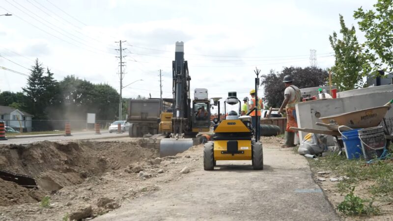
In industries such as mining and construction, GPS robots could be used to perform dangerous tasks, improving safety. They could navigate hazardous environments, perform complex tasks, and even operate in conditions that would be unsafe for humans.
FAQs
Can These Robots Operate in Low-Light Conditions?
Yes, they can operate in low-light conditions. They do not rely on light to navigate as they use signals for positioning.
How Accurate Is Their Positioning?
The accuracy of a GPS robot’s positioning can vary depending on many factors, including the quality of its receiver, the number and position of satellites in view, and the presence of any sources of interference or signal reflection.
However, with a good-quality system and favorable conditions, these robots can achieve positioning accuracy within a few meters or less.
Can They Be Used for Tasks Like Delivery or Surveying?
Yes, these are being increasingly used for tasks like delivery and surveying. For example, some companies are developing GPS-guided drones for package delivery, and these robots can also be used for tasks like land surveying, agricultural monitoring, and environmental research.
What Is Ego-Motion Estimation?
Egomotion estimation is a technique used in indoor navigation where a moving camera is used to guide the robot.
What are Automated Guided Vehicles (AGVs)?
Automated Guided Vehicles (AGVs) are used in industrial scenarios for transportation tasks. They are guided to their goal location using various methods.
Conclusion
In conclusion, GPS robots are a fascinating blend of technology and practicality. They use a combination of GPS data, sensors, and sophisticated algorithms to navigate their environment and perform tasks.
While they face challenges such as unreliable signals and complex navigation tasks, ongoing research, and technological advances are continually improving their capabilities. The future of GPS robots is bright, and we can expect to see them used in an ever-increasing range of applications.